The Dolomites
Walking in the Val Gardena
About the Dolomites
Towards the end of the 18th century a French geologist called Déodat Gratet de Dolomieu
discovered a limestone-like rock while fossicking around in the Alps of theTyrol. It was different
to any other known at that time. The rock was given his name, dolomie (dolomite in English)
and the range of mountains in the north of Italy came to bear his name.
The Dolomites now form the border between Austria and Italy. They cover 141,903 ha of spectacular landscapes and include 18 peaks that rise above 3000 m. The geography is complicated - there are great lumpy mountains and spiky pinnacles, precipitous cliffs and rock walls, high grassy meadows known as alms, and dense forests. Long narrow valleys carve up the mountain areas and provide access to the towns and villages that are located at these lower altitudes.
The extent of the area and its challenging geography made it hard to pinpoint a place to spend a walking holiday. So we set some criteria. We wanted a sizeable village in a mountain environment, with good shopping and restaurants, not too overdeveloped for tourism, a good network of lifts and accessibility to some of the other valleys for possible day trips. And, of course, there would have to be good day walking which means that the snow would have melted enough for the lifts up to the trails to be open.
After much poring over maps and guidebooks we settled on the Val Gardena and an apartment in the village of Santa Christina. It was June 2010 and we liked what we read about this time of year in the mountains.
A brief history and its linguistic fallout
The mountains of the Dolomites form a formidable natural frontier between the countries we now know
as Italy and Austria. They fall entirely within Italy but straddle two separate regions - the major part
within the region of Trentino-Alto Adige, with the remainder in the Veneto. Until 1919 this was all part of
the Austro-Hungarian empire.
At the end of World War I following major battles between Austro-Hungarian and Italian troops, the Italians occupied and annexed the mountain region. It was formally awarded to Italy in post war treaties and a period of intense Italianisation followed, a process that was only reversed during and after World War II. Post war, the region became a fully autonomous region of Italy and both German and Italian were made official languages. Although this was for some years an uneasy arrangement, the region seems now to be quite comfortable with this way of communication.
Something like 70% of the population of Alte-Adige speak German as their first language. To them it is quite natural that the region is also known by its German name of Südtirol. Everyone also speaks Italian. This is Italy after all.
But then there is Ladin, an old Rhaeto/Romance language which developed when the region was colonised by the Romans. Ladin is taught in schools and is still spoken in five valleys which, until recently, have remained quite isolated. These are Val Gardena, Alta Badia, Cortina d'Ampezzo, Fodom and Val di Fassa.
Hidden in the introduction to most guidebooks and maps is usually a statement advising which language is being used. In our web page we use the Italian form of names, followed by German and, when appropriate, Ladin.
Even before we arrived it was clear
that language would be an
interesting feature of our stay.
Val Gardena
The Val Gardena (Grödental if you speak German, and Gherdëina in Ladin) proved to be an
excellent choice.
We drove up from Lake Garda and, as the mountains began to envelop us, had to keep taking great gulps of amazement. It was sooo beautiful - a bit like stepping into the pages of National Geogaphic Magazine. The turnoff into the valley was off the busy motorway that connects Bolzano (Bozen) to the Brenner Pass ( Passero del Brennero, Brennerpass). From there we reached the three villages of the valley, first Ortesei (St Ulrich, Urtijëi), then Santa Cristina (St Christina, S. Crestina) and finally at the head of the valley Selva Gardena (Wolkenstein, Sëlva).
We had selected Santa Cristina as it was said to be the smallest and most unspoilt of the three. Even so it was amply provided with hotels and apartments, though not the solid walls of high rise that were something of a feature in the other two. Our apartment was high up above the village with a view that looked directly across to one of the most significant peaks in the landscape, Sassolungo (Langkofel, Saslonch). We never tired of this view and would check how our mountain was looking at every hour of every day.
The only downside of this wonderful location was the fact that the shops, bars and restaurants were all at the bottom of the hill with a 2 km climb back up again. It never seemed worth taking the car to the shops so we gave ourselves a bit of extra preparation for mountain walking.
On the first day we were there, 20 June, Midsummer, it snowed. When the clouds cleared we looked across a jumpy green landscape, dotted with rustic mountain houses to the craggy outcrops of rock on Sassolungo dusted with fresh snow. It was sheer magic and every day after was picture perfect.
Walking, climbing and skiing are the life blood of the mountains. Once the winter season is over
and the snow melts, the lifts reopen for summer use and there is a bewildering diversity of
walking.
Firstly, there are a number of long distance, high altitude footpaths called alte vie where you can walk for up to six days or more. There is a network of rifugi, or refuges, which enable you to stage a walk or to do shorter loops. Up here also you will find the Via Ferrate, pathways in hazardous environments where there are ladders, metal rungs and, notably, steel cables attached to the rock faces to assist the walker. Some of these are associated with the fierce fighting of WWI when they were built to assist the movement of troops. To walk the Via Ferrate you need helmets, ropes, harnesses and, above all, a good head for heights.
At a lower altitude there is a staggering choice of shorter trails. Most of these will begin with an exhilarating haul up towards the high peaks in a space age gondola. Once up at a height where the valleys spread out below and the mountains tower all around, tracks head off in all directions across alpine meadows, known as alms or in some cases, alpe. Piano is another word that may be used to describe an area of open plains or meadows. There is often a rifugio at the top of the lift where you can fortify yourself before setting off. After a day's walking you can either take the lift down to the valley or walk down one of the tracks that winds to the bottom.
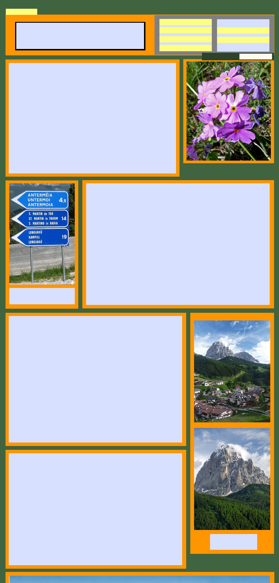
The pathways are generally very well made, meandering across meadows, traversing slopes, occasionally crossing patches of scree and venturing through forests. The signposting is good and usually bilingual. In springtime the wildflowers are amazing.
Firstly, there are a number of long distance, high altitude footpaths called alte vie where you can walk for up to six days or more. There is a network of rifugi, or refuges, which enable you to stage a walk or to do shorter loops. Up here also you will find the Via Ferrate, pathways in hazardous environments where there are ladders, metal rungs and, notably, steel cables attached to the rock faces to assist the walker. Some of these are associated with the fierce fighting of WWI when they were built to assist the movement of troops. To walk the Via Ferrate you need helmets, ropes, harnesses and, above all, a good head for heights.
At a lower altitude there is a staggering choice of shorter trails. Most of these will begin with an exhilarating haul up towards the high peaks in a space age gondola. Once up at a height where the valleys spread out below and the mountains tower all around, tracks head off in all directions across alpine meadows, known as alms or in some cases, alpe. Piano is another word that may be used to describe an area of open plains or meadows. There is often a rifugio at the top of the lift where you can fortify yourself before setting off. After a day's walking you can either take the lift down to the valley or walk down one of the tracks that winds to the bottom.
The pathways are generally very well made, meandering across meadows, traversing slopes, occasionally crossing patches of scree and venturing through forests. The signposting is good and usually bilingual. In springtime the wildflowers are amazing.
The tracks and trails of the Dolomites
Walking in Val Gardena
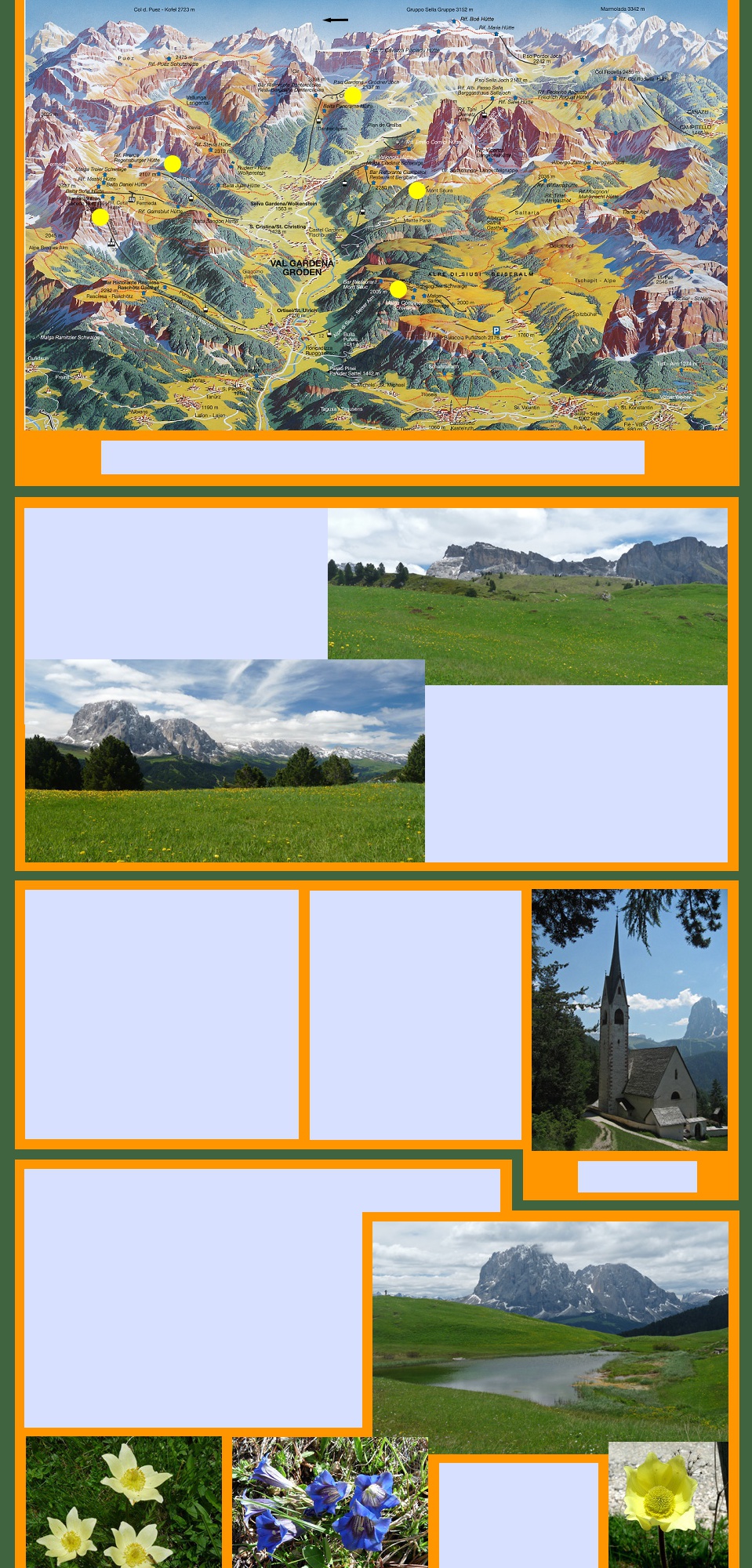
The perspective sketch above will be helpful in understanding
the walking in and around the valley.
The valley runs roughly west to east, which is bottom to top on the map. On either side and at its head are impressive groups, gruppi of peaks. Each peak has its own name but they are also known collectively by their group names. So on the north side of the valley is the Gruppo Puez- Odle, on the south side is the Gruppo Sassolungo and towering at the top of the valley in the east is the dramatic Gruppo Sella.
The valley runs roughly west to east, which is bottom to top on the map. On either side and at its head are impressive groups, gruppi of peaks. Each peak has its own name but they are also known collectively by their group names. So on the north side of the valley is the Gruppo Puez- Odle, on the south side is the Gruppo Sassolungo and towering at the top of the valley in the east is the dramatic Gruppo Sella.
N
Short walks in the valley
We eased into it, beginning with a walk up a disused
rail line to Selva to become familiar with the
countryside. Houses are painted white, trimmed with
wood or other dark coloured materials. Roofs are
steeped pitched and balconies are positioned to catch
the sunshine. Traditional farmhouses are built into the
hillsides with piles of wood stacked on verandahs or
under the eaves.
Every bit of hillside was covered in long grass and colourful flowers. And all the farmers and their families were furiously engaged in the hay making harvest. They used traditional wooden scythes and long handled wooden pitchforks - the slopes were too steep for more modern equipment. The smell was delicious but we almost wept as the colourful flowers were swept away. The new mown hay was tossed down the hillside to flatter spots where it could be bundled onto carts.
Every bit of hillside was covered in long grass and colourful flowers. And all the farmers and their families were furiously engaged in the hay making harvest. They used traditional wooden scythes and long handled wooden pitchforks - the slopes were too steep for more modern equipment. The smell was delicious but we almost wept as the colourful flowers were swept away. The new mown hay was tossed down the hillside to flatter spots where it could be bundled onto carts.
Another walk wound down to Ortesei
maintaining a level well above the valley,
and passing right by our front door. Along
the way were farmhouses and meadows,
colourful cascades of bright little flowers,
forests, mountain streams and always a
wonderful view of the mountains. The
feature of this walk was a remarkable
church deep in the woods with a tapered
spire that challenged the mountains for
its elegant soaring splendour. We did
this walk twice, once completing a circuit
back to Santa Cristina along the old
railway line and climbing our hill in
exhaustion. The second time we set off
in the morning, had lunch in Ortesei and
caught the bus back. But there was still
that hill to climb.
Although the geography is complicated, we got the picture
after a while and quickly discovered that all the infrastructure
is set up to make access to walking easy. The three villages
have lifts on both sides of the valley to take walkers up to the
higher slopes and alms. A regular bus service runs up and
down the valley so there is no worry about driving and
parking. In fact in high season some roads are closed to
vehicular access other than when visitors are arriving and
departing from their accommodation.
From the top of the lifts, tracks head off in all directions and it is all wonderfully interconnected - fabulous for walking and even more amazing for skiing in winter.
From the top of the lifts, tracks head off in all directions and it is all wonderfully interconnected - fabulous for walking and even more amazing for skiing in winter.
Day walks in the mountains
In our two weeks we spent five days walking on the high tracks and trails and found that nothing
we had read had prepared us for these glorious walks. Each was special in its own way.
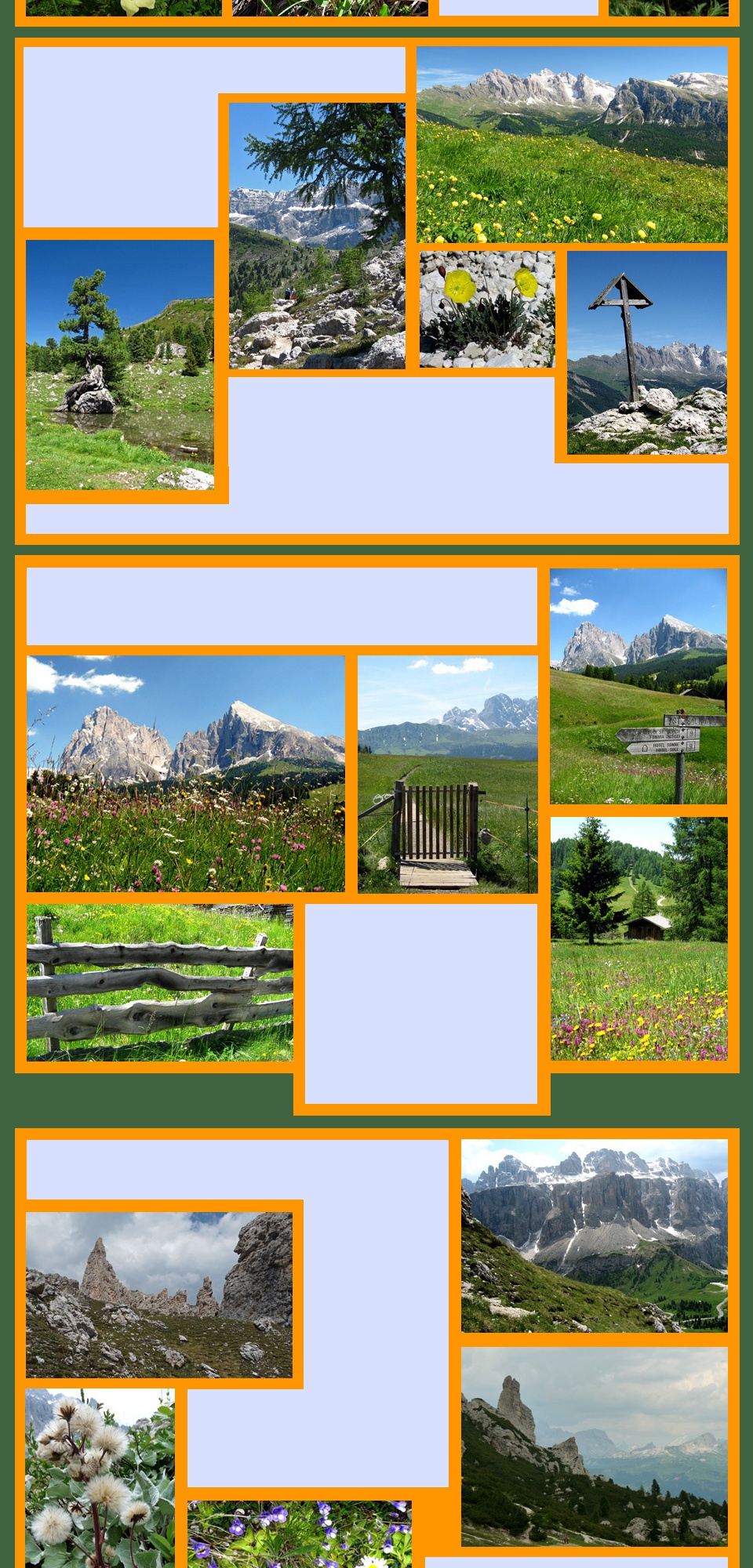
From its station just above Santa Cristina village a gondola made
easy work of the climb to 2107m and the alms of the Alto Piano. We
walked a criss-cross circuit of this open area where Sassolungo was
always right before our eyes and the wildflowers were breathtaking -
ranunculus, gentians, dandelions, daisies and buttercups and heaps
of others we can't put names to.
Leaving the paths is discouraged and is not wise as there were squishy areas where little streams drain into ponds and soaks. There was still a lot of snow around from the bad weather earlier in the week. Interesting features that distinguished this walk were a mountain church which warranted a detour from the main tracks and little mountain huts, called malghe, which dot the landscape. These were originally used for summer grazing but now seem to be modest summer chalets, perhaps a bit like an Australian beach house.
Leaving the paths is discouraged and is not wise as there were squishy areas where little streams drain into ponds and soaks. There was still a lot of snow around from the bad weather earlier in the week. Interesting features that distinguished this walk were a mountain church which warranted a detour from the main tracks and little mountain huts, called malghe, which dot the landscape. These were originally used for summer grazing but now seem to be modest summer chalets, perhaps a bit like an Australian beach house.
After a fabulous ramble round
this mountain wonderland,
we had a late lunch at the
Col Raiser rifugio and came
back down in the gondola.
You can do a complete circuit of Sassolungo with some moderately difficult stretches and in past years
we would probably have done it. This time, however, we were satisfied to reach the Refugio Comici and
enjoy lunch on a sun drenched terrace.
Across the valley from our living room we could see two chairlifts going up to the
base of Sassolungo. These took us to our next walk.
There were many ways down. We chose a path through flowery meadows and forests and then a trail that ran alongside a mountain
stream all the way down to Monte Pana where the lift dropped us into the valley.
The first lift zipped up from the base of
the valley, a mere 200m, to Monte
Pana, a luscious green basin
surrounded by forests. We then
transferred to the other lift and swung
above the trees, up another 400m, to
reach Mont de Seura, a flower filled
pasture with stunning views down to
the valley and across to the peaks of
the Gruppo Puez- Odle.
A rough track headed off into a forest and we clambered over rocky
outcrops and tree roots to emerge on the scree slopes at the base
of Sassolungo. A passing English couple alerted us to a bright
yellow alpine poppy, pushing up through the white stones.
Apparently very rare, this lovely little flower seemed to relish the
harsh conditions.
A pathway left the higher slopes, passing
through a couple of rustic villages and then a
steep forest road took us down, down, down till
we emerged, once again at Monte Pana and
the very welcome chairlift down to Santa
Cristina.
For this walk we took advantage of the bus and completed a loop, that coordinated a series of different
trails, starting in Ortesei and finishing in Santa Cristina. A gondola cable car swept us up 770m from
Ortesei and on a glorious sunny Sunday we joined a happy crowd of families and walkers setting off to
enjoy the easy walking on the alms of the Alpe di Siusi.
You could walk for hours in this colourful rolling
landscape. The crowd thinned out as we
wandered further from the lift station and we had
the place almost to ourselves. Tracks wound
across the meadows and through patches of
forest, with dozens of huts dotting the hillsides
and a backdrop of high snow capped
mountains. We picnicked on a grassy slope
surrounded by wildflowers.
A trail up into the rocky Puez group of crags and
peaks left most of the crowd behind but it was quite
hard going on a rough track and less protected on
what had become a windy day. But not to be defeated
we climbed to the top of the ridge and had lunch
looking out towards a panorama of vertical rocky
peaks partly covered in snow and mist.
This was a walk that started for us with a cable car from Selva to 2298m and then a
traverse across a ridge with a stunning view back down the Val Gardena. In front of us
were the steep walls of the mighty Gruppo Sella .
After the previous walks
this one was a bit
disappointing to us
because it was crowded
and we also found the
landscape to be more
disturbed and scarred with
tracks and trails, roads and
car parks, lifts and cafes.
The car and bus parking
areas provided access for
large groups of people of all
ages clicking along with
their sticks in long lines
like caterpillars.
From here the track continued across a rocky moonscape
before returning to Selva by a steep descent into the valley.
We chose instead to return to the Dantercepies lift along a
high level pathway that was edged with tough little plants and
brilliant flowers.
There were stunning views of all the little mountain huts that dotted the rolling slopes
and the backdrop of mountains. We walked right around the piano, picnicked on a
mound of moraine surrounded by flowers and then followed a track for a while towards
some of the higher peaks. Then from the Col Raiser lift we found a mountain track that
wound round and down to the heights above St Cristina and home. Pretty tired but
happy to have finished our stay with such a wonderful walk.
We had saved this stunning walk till last.
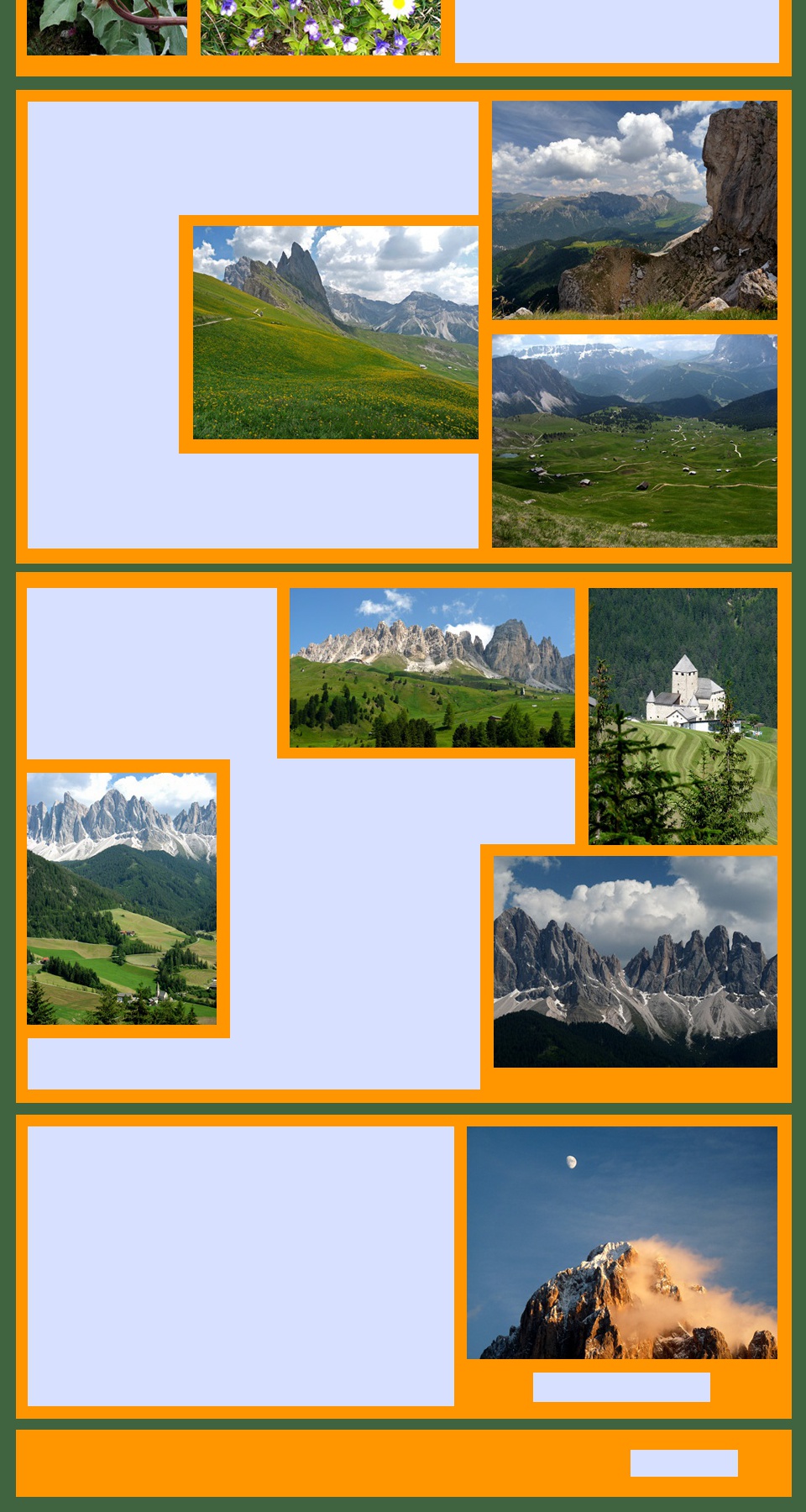
From the centre of Ortesei a series of escalators took walkers up to the Seceda cable car which ascended almost vertically to the lift station at 2456m and a vast panorama. From there we looked down on the alms we had enjoyed so much on walk 1. In one direction the Puez-Odle group, subject of walk 4, towered high above the meadows. Opposite was Sassolungo and its gruppo with the track of walk 2 clearly visible.
From the centre of Ortesei a series of escalators took walkers up to the Seceda cable car which ascended almost vertically to the lift station at 2456m and a vast panorama. From there we looked down on the alms we had enjoyed so much on walk 1. In one direction the Puez-Odle group, subject of walk 4, towered high above the meadows. Opposite was Sassolungo and its gruppo with the track of walk 2 clearly visible.
From the lift station a
pathway climbed along
the edge of a precipitous
cliff that dropped
terrifyingly into the valley
below. Edged with brilliant
yellow flowers, it climbed
towards a group of spiky
peaks and then headed off
to circle round the edge of
the piano. This had all
been under snow on our
first walk up here.
On a winding road back through the
mountains we found ourselves in the midst of
a family's haymaking. The youngest children
stopped the traffic while the adults scythed
and raked the grass on the steep slopes
above the road. It was then all tossed down
onto the road with long wooden pitchforks
and loaded into carts which were towed
away by an ancient tractor. Only then could
the traffic move on but everyone took it in
good spirit and there were smiles and waves
all round.
Further afield
Our decision to spend base ourselves in the Val Gardena meant that we got a really good feel for that small part of the Dolomites. But there are of course heaps of other possibilities. The Val Badia, further east is one and the area north of Cortina d'Ampezzo is also very popular.
For real adventurers, the Brenta Dolomites west of the Brenner motorway is another majestic group of peaks but best suited to those looking for a real mountaineering experience.
The Great Dolomite Road, or Grande Strada delle Dolomiti east of
the Brenner motorway finds a way through the mountain passes to
link Bolzano and Cortina d' Ampezzo. On the way it picks up the
Val Gardena and Val Badia roads. By all accounts this is a
wonderful dramatic excursion. We did only a bit to reach the Val
Badia where again we found imposing mountains, networks of lifts
and walking trails and picturesque villages.
Like the Val Gardena the Val Badia preserves the Ladin language. In the village of San
Martino, we found a Ladin museum tucked away in a castle. Here there was a collection
of rather curious displays of Ladin life and culture and a self guided audio system.
Bolzano and Otzi
We ended our exploration of the Dolomites in Bolzano, which is a lively university
city with an elegant historic centre where churches and tiled roofed buildings are of
an agreeable modest scale. From its piazzas and arcaded narrow streets there is a
background vista of the nearby mountains. It is an altogether agreeable city in
which to spend a day or two enjoying its animated restaurant quarter and visiting its
museums.
Source: www.val-gardena.com
For us the real drawcard was the South Tyrol Museum of Archaeology where you
come face to face with Otzi the famous "Iceman". We had been fascinated by him
since his discovery by walkers in 1991, so it was spine-chilling to actually see him
with all the belongings he was wearing and carrying 5300 years ago.
The details of his life and death have been cleverly pieced together. Born in
c.3300BC, he probably lived somewhere north of the present Bolzano and died
aged about 45 years as a result of an arrow wound. His last meal was probably
ibex meat and some sort of wheat grain. You view Otzi through a small window.
He is laid out in a small refrigerated space, glistening with frost and eerily real. It is
a moving experience: you can't help feeling that this man may have known and
walked over the same alpe that we see today. We share it with him.
Moonrise and
Sunset on Sassolungo
Sunset on Sassolungo
Return to Top
Santa Cristina and
Sassolungo
Sassolungo
S.Giacomo
(St Jakob, Sacun)
(St Jakob, Sacun)
the Dolomites
Visit FRANCE
See more of ITALY
Explore SPAIN/PORTUGAL
Explore on MAPS
Return to HOME PAGE
Explore PHOTO GALLERIES
See pictures of